Browning Fork Trailhouse

Home | Winter Special | Unit 1 | Pictures: Unit 1 | More Pictures: Unit 1 | Unit 2 | Pictures: Unit 2 | Unit 3 | Unit 3 Pictures | Unit 4 | Unit 4 Photos | Cabin: Rider's Retreat | Cabin Pictures | Customer Comments | Check-In Procedures | Trailhouse Rates | More Trailhouse Info | Directions to Trailhouses | Trail Map and Location of Trailhouses | Rockhouse Trail Pictures | More Rockhouse Trail Pictures | Trail Rules | Area Restaurants | Area Attractions | Photo Album of Friends

Rockhouse Trail Pictures


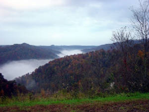
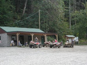
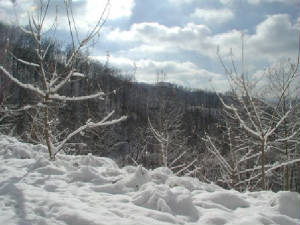
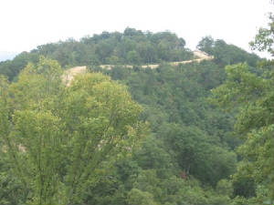
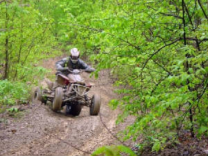
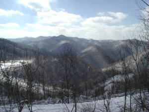
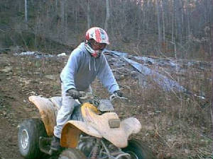
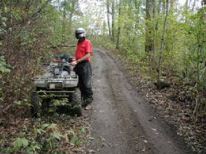
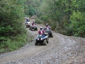
All the pictures were taken on the Rockhouse 
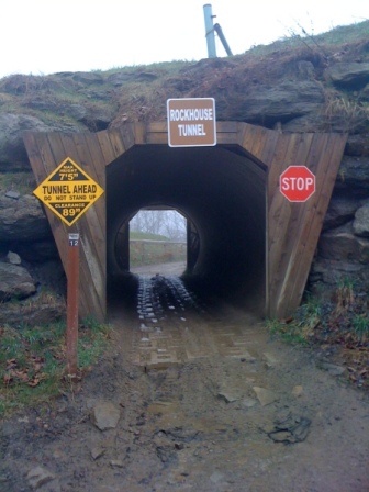
Trail.  The Rockhouse Trail runs between Man and Gilbert with over 115 miles of trail.The Rockhouse Trail has one trailhead/ranger station called Rockhouse.  The Rockhouse Trail has a wide range of difficulty.  
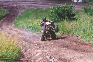
The breakdown in trail percentage on the trail is as follows:  51% are green trails (easiest), 31% are  blue trails (more difficult), 11% are black trails (most difficult), and 7% are orange trails (single track only).  This trail system has direct access to the town of Gilbert.  Difficulty ratings on a trail 
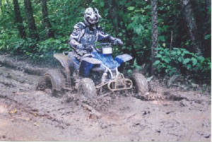
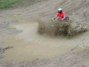
system are always set in relation to the other trails in the same system.  The trail goes from mild to wild.  The Rockhouse Trail is a great place to ride for everyone.

Early Morning View from Rockhouse Trail
rockhousefog.jpg

Rockhouse Trailhead
trailhead62.jpg

Wild, Wonderful WV Winters
rockhousesnow2.jpg

Rockhouse Trail 93
rockhouse_93.jpg

Snow Days on Rockhouse Trail
rockhousesnow2.jpg

Late Spring Riding
rockhouse7.jpg

A Light Snow on Rockhouse Trail
rockhousesnow3.jpg

Young Rider on Rockhouse Trail
rockhouse_armstrong3.jpg

Having a Little Fun!
godsey7.jpg

Got Mud?
godsey4.jpg

Tunnel Going into Gilbert
rockhousetunnel_5.jpg

Trail 12
trail12_9.jpg

More Mud on Rockhouse Trail
rockhouse_splash.jpg

Taking a Tumble on Rockhouse Trail
rockhousewreck_10.jpg

Rockhouse Single Trail
rockhousesingle.jpg

Group of Riders on Rockhouse Trail
rockhousegroup.jpg